The gaze from space: how satellites can deceive
There has been a proliferation of studies using remote sensing analyses of land use in Zimbabwe published recently. I seem to get sent loads to review. One by Simbarashe Jombo, Elhadi Adam and John Odindi came out recently in Land Use Policy. It nicely illustrates the problems with this sort of study.
The paper is based on the analysis of Landsat data at five time intervals from 1992 to 2014 from Chipinge. It boldly proclaims that “deforestation, land degradation, overgrazing, reduced fallow periods and other anthropogenic activities attributed to the FTLRP have led to significant land use and land cover changes”.
Wrapped up in this sentence are a whole set of assumptions. By changing land use through anthropogenic intervention (which after all was what land reform was about), of course landscapes will change. Trees will be cleared to create fields; fallow will reduce, as land use is intensified; and more livestock will make use of the land as farmers invest and accumulate. From the point of view of production efficiency and livelihoods all these changes may be good things. Just observing land use change from space tells us nothing about the outcomes and their positive and negative consequences.
This paper is far from alone in making unfortunate elisions between observations of change to assumptions about implications. It falls into the trap of assuming that all change is bad, and that more people and livestock will inevitably result in ‘overgrazing’ or ‘land degradation’. It may not be the case, as people invest in soil erosion control, plant trees (in new places), and manage livestock in different ways to previously.
I won’t reiterate the old debate about overgrazing and carrying capacity in Zimbabwe, but we have to remember that what is an appropriate stocking rate is in large part an economic and social judgement, not a scientific one. Here’s a paper by me, now nearly 30 years old. I thought we’d got over this by now! As is well demonstrated across semi-arid areas, with flexible movement and opportunistic use of non-equilibrium rangelands permanent degradation (or desertification in other parlance) is unlikely.
So comparing air photos or satellite images of former commercial farms and new resettlements showing one to have more standing biomass and the other less tells us nothing much more than the fact that one has less utilisation than the other. Degradation occurs when the economic value of a resource declines permanently. Evidence of heavy grazing, bare areas and short fallow cultivation cycles don’t prove degradation, as management and inputs may ensure longer term use is sustained.
The myths constructed about land degradation in Africa are legion, and very well documented. The enthusiasm for remote sensing comes in a long line of science deployed for political purposes. Of course this doesn’t mean that land degradation doesn’t happen. We just have to be clear about what we mean by degradation or ‘over’grazing or desertification or deforestation.
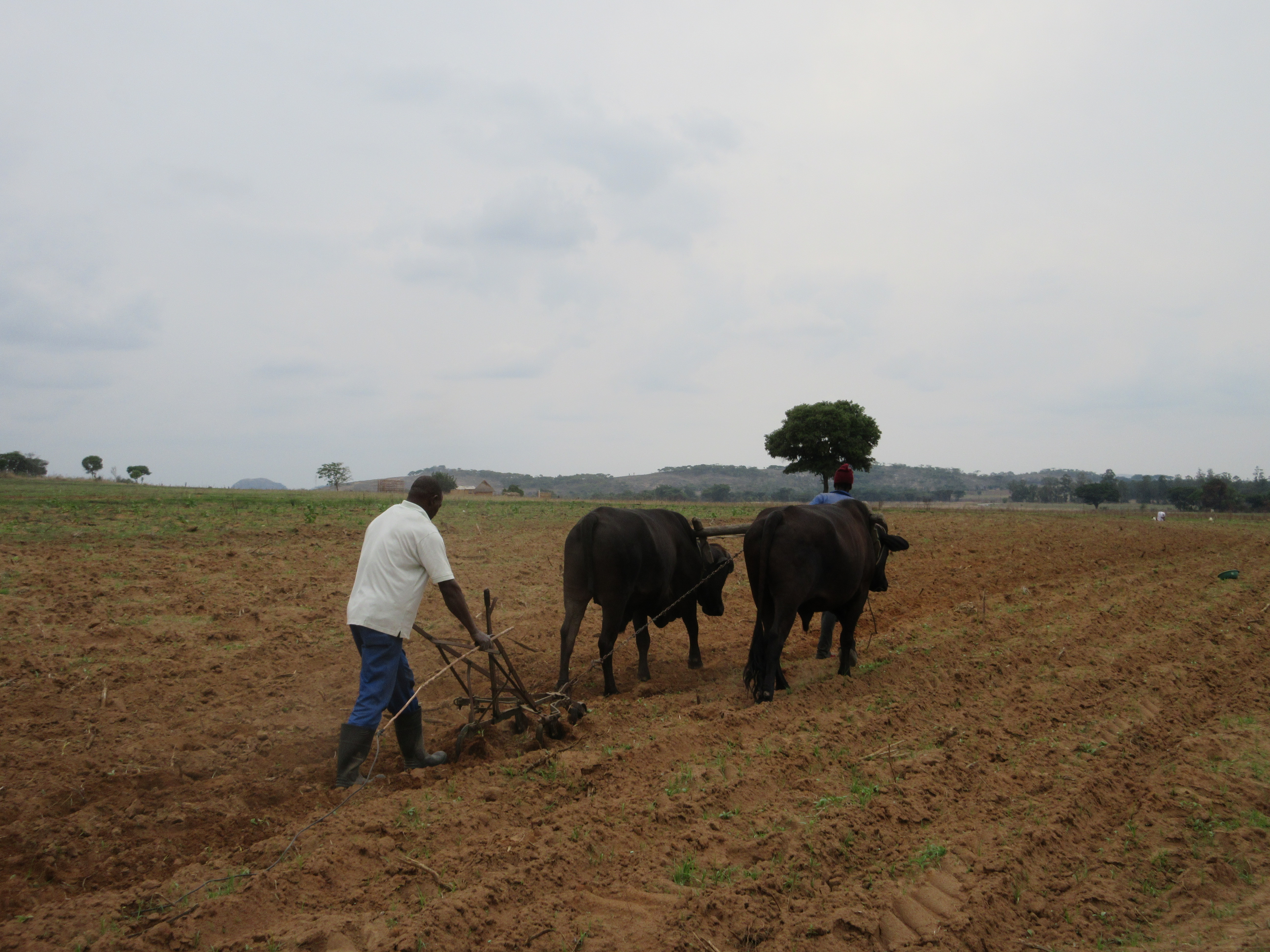
I have written before about concerns around deforestation driven by tobacco production and curing in new resettlement areas in Zimbabwe. Unless (as white farmers did from the 1940s) technological developments occur (such as rocket barns and more efficient use of woodfuel for curing), the loss of such woodlands will result in degradation with economic consequences (along with aesthetic and biodiversity losses too).
Equally, intensive use of soils, without attention to soil health, may result in the loss of soil organic matter below a critical threshold, with additions of organic or inorganic fertiliser becoming less effective. With addition of appropriate inputs, a decline in soil nutrients is not a problem per se (this is what cultivation does), the concern is when the efficacy of such inputs declines.
Having established that land use has changed (big surprise!) due to land reform (in all the expected directions except a supposed decline in small farms in the last time period, which seems odd given what is happening on the ground), the second part of the paper then tries to ‘explain’ this assumed ‘degradation’.
A set of explanations are offered based not on any empirical data but selective readings of various studies, exposing the authors’ clear biases. They conclude: “a land reform programme should go beyond land acquisition and sentimental resettlement as this will likely lead to deterioration of land and associated resources, hence further poverty”. Instead they recommend (again following a well-worn narrative) the need for private property rights and investment in commercial agriculture.
But in order to tease out the causal connections and the implications of land use change, satellite imagery can only tell one part of the story – and actually a very limited one. The paper comments that “traditional ground based mapping techniques [are] often time consuming, expensive and tedious”. But sometimes time and tedium are needed to find out what is really happening on the ground.
Too many of these sort of studies rely on easily-available imagery and fancy computing techniques without ever going to the field. To understand degradation dynamics requires talking to people and understanding field complexities; otherwise the interpretations (as in this paper – it is not alone given my reviewing experience) are simply misleading.
Sustainability (and so degradation) is necessarily a political construct, one that requires deliberation on what landscapes are desirable in what form, for whom. Using satellite imagery to construct an argument that land reform was a bad thing exposes an ideological position hidden behind a misleading gaze from space.
This is the fifth in a series of short reviews of new work on agriculture and land in Zimbabwe. If there are other papers or books that you think should be included, please let me know!
This post was written by Ian Scoones and first appeared on Zimbabweland